Hugo Frank · 25 September 2026
Young Explorers Use Smartphone Technology to Track Changes in Chalk Grassland Paths
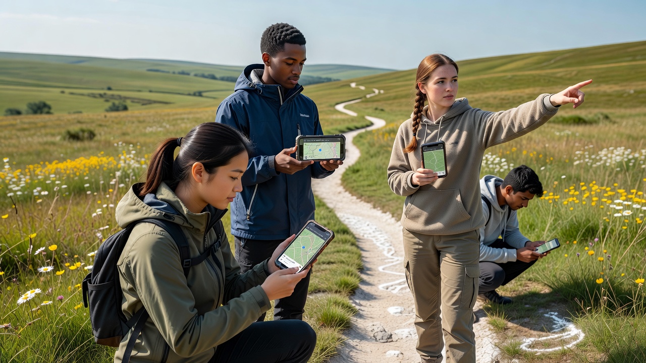
Young explorers across several UK regions have started documenting variations in chalk grassland paths through dedicated smartphone applications that record GPS coordinates, elevation data, and surface conditions while users walk established trails, and this approach allows groups to compile repeated measurements over time that reveal gradual shifts caused by weather patterns, foot traffic, and vegetation changes. Researchers from academic institutions have noted that such citizen-collected datasets complement traditional surveys conducted by government agencies, providing higher frequency updates in areas where official monitoring occurs less often, while apps designed for this purpose often include features for uploading photographs and noting vegetation density or erosion signs that help build layered records of landscape evolution.
Chalk Grassland Characteristics and Path Dynamics
Chalk grasslands support distinctive plant communities adapted to thin soils over limestone bedrock, and paths through these habitats experience incremental adjustments as repeated use compacts soil, rainfall washes away loose material, and plant roots stabilize or destabilize edges depending on species composition, yet smartphone mapping projects capture these processes at scales that static maps cannot reflect. Data gathered in this manner shows seasonal differences, with winter months often producing more pronounced widening or deepening in sections exposed to prevailing winds, and summer conditions sometimes leading to recovery through regrowth when usage decreases, according to figures released by environmental monitoring programs in multiple European countries.
September 2026 Initiative and App Deployment
Planning documents indicate that a coordinated series of youth-led mapping events will commence in September 2026 across several chalk grassland sites in southern England, with participating groups equipped with standardized apps that synchronize data to shared repositories for analysis by conservation bodies, and early test runs have already demonstrated that school-age participants can achieve measurement consistency comparable to professional teams when following simple calibration routines. The applications integrate offline functionality for remote locations without signal coverage, then upload records once connectivity resumes, which enables continuous data streams even during extended field days, while built-in prompts guide users to record specific variables such as path width at regular intervals or presence of exposed chalk.
Technology and Data Integration Methods
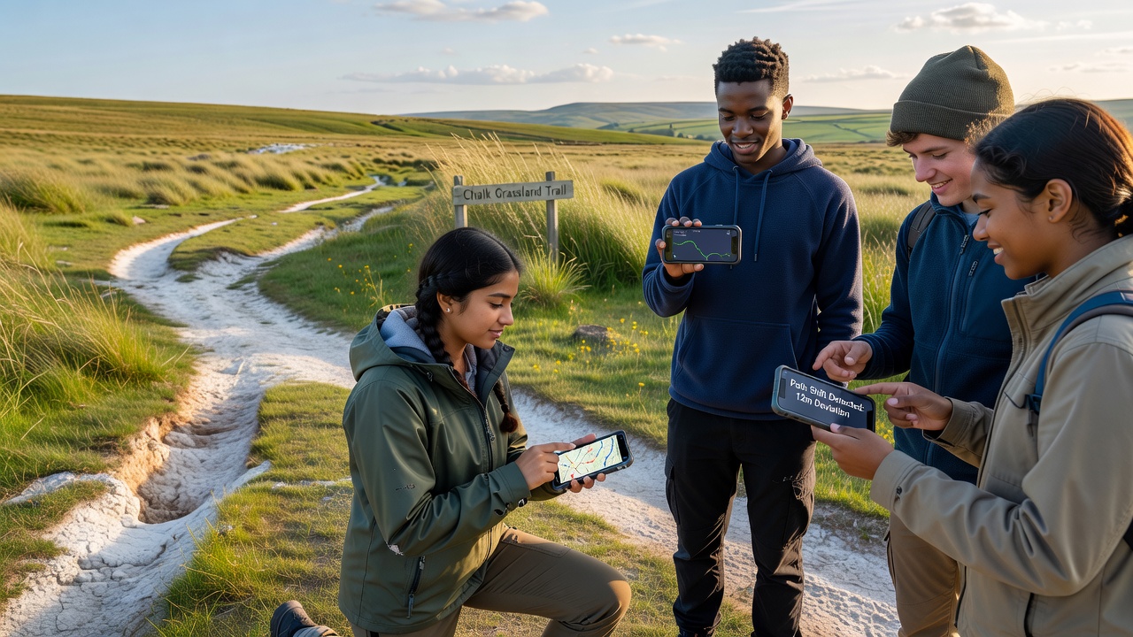
Apps employed in these projects typically combine satellite positioning with inertial sensors inside smartphones to improve accuracy on uneven terrain, and developers have incorporated algorithms that flag potential outliers for manual review before inclusion in final datasets, which reduces errors from momentary signal loss or device tilt during photography. Collaboration with research institutions has produced open-source modules that allow integration with existing geographic information systems used by agencies such as those overseeing protected areas in Canada and Australia, where similar grassland monitoring occurs, and this interoperability supports cross-regional comparisons of how path shifts correlate with climate variables like rainfall intensity and temperature fluctuations.
One study conducted by a European university consortium found that volunteer-mapped paths aligned within two meters of professional lidar surveys in most cases, demonstrating sufficient precision for detecting changes exceeding that threshold over multiple seasons, while another project in the United States applied comparable methods to prairie trails and reported parallel findings on erosion patterns linked to usage intensity. Participants receive training on consistent measurement protocols before deployment, which includes practice sessions on known routes to establish baseline accuracy, and feedback loops within the apps provide immediate visual summaries of collected points to maintain engagement during longer outings.
Conservation Applications and Broader Impacts
Conservation organizations have begun incorporating these youth-generated maps into habitat management plans that prioritize trail rerouting or reinforcement in high-change zones, and preliminary reports from sites involved in earlier pilots indicate measurable reductions in further degradation after targeted interventions based on the data, according to records maintained by regional environmental authorities. The approach also introduces participants to scientific data handling practices, with some groups extending their work to include species observations that link path conditions to biodiversity indicators such as orchid presence or butterfly counts recorded through companion applications.
Links between path morphology and underlying geology become clearer when repeated measurements accumulate, revealing how subsurface water movement influences surface stability in particular sections, and this information assists land managers in predicting future adjustments under varying climate scenarios. Groups operating in different counties have shared protocols through online forums, which accelerates refinement of methods and expands coverage to additional grassland fragments that previously lacked detailed monitoring.
Conclusion
Smartphone-enabled mapping by young explorers supplies ongoing records of chalk grassland path evolution that support evidence-based conservation decisions, and continued expansion of these programs into September 2026 and beyond will likely strengthen datasets available to researchers and agencies working across similar habitats worldwide. The combination of accessible technology with structured field activities creates scalable contributions to landscape monitoring without requiring extensive professional resources for every site.