Jonas Weber · 6 November 2026
Volunteers Map Out Unexpected Wildlife Havens on Historic Ridge Trails in Southern England
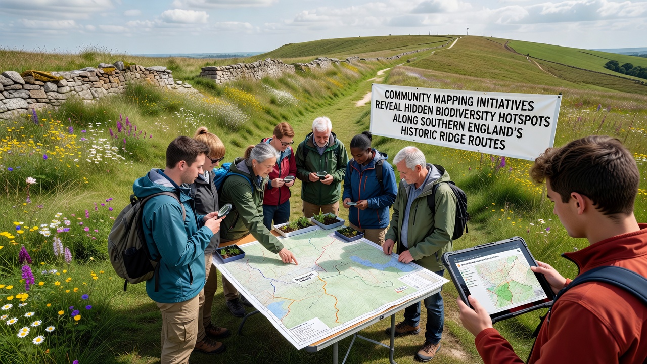
Community mapping projects across southern England have documented clusters of rare plant and insect species along ancient ridge paths that connect the South Downs with the North Downs and extend into parts of Hampshire and Kent, and data collected through these efforts continues to expand records for the region. Local groups equipped with GPS devices and smartphone applications have logged sightings of orchids, butterflies, and ground-nesting birds in areas previously marked only as standard grassland on official maps, while November 2026 updates from several projects added fresh coordinates for lichen communities and small mammal burrows along sections near the historic Pilgrim's Way corridor.
Project Scale and Participation Numbers
More than 1,200 volunteers contributed observations between 2023 and 2026 through coordinated programs run by county wildlife trusts and national park authorities, and the combined dataset now exceeds 45,000 verified records submitted to the National Biodiversity Network. Training sessions held at village halls and trailheads taught participants how to identify indicator species such as the Adonis blue butterfly and the early gentian, after which teams walked assigned segments of ridge routes during peak flowering and migration periods. Digital platforms allowed real-time uploads that cross-checked against existing databases, reducing duplicate entries and improving accuracy for conservation planning.
Methods Behind the Discoveries
Participants combined traditional transect walks with grid-based sampling that divided ridge sections into 100-meter squares, and each square received at least two survey visits per season to capture seasonal changes in vegetation and animal activity. Handheld devices running open-source mapping software recorded elevation, slope aspect, and soil moisture alongside species data, while drone footage supplied by partner universities provided canopy and bare-ground coverage estimates that helped explain why certain ridge crests supported higher diversity than adjacent slopes. Cross-verification with herbarium specimens housed at regional museums confirmed identifications for less common lichens and bryophytes found on exposed flint outcrops.
Species Records and Distribution Patterns
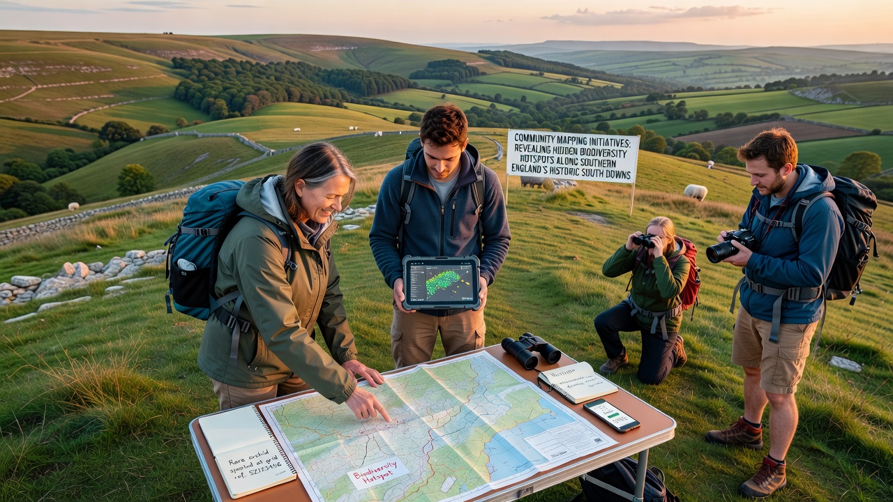
Records show that 28 plant species classified as nationally scarce now have confirmed locations along these ridge routes, including populations of the burnt orchid and the musk orchid that occupy narrow bands of shallow soil over chalk. Insect surveys revealed breeding colonies of the silver-spotted skipper in previously unmapped patches of sheep's fescue, while bird counts documented skylark territories on ridge summits that receive less recreational pressure than lower valley paths. Thermal imaging cameras used during nocturnal surveys detected hedgehog and harvest mouse activity in scrub edges that border the main trails, adding mammal data that had been sparse in earlier official surveys.
Integration with Existing Conservation Frameworks
Findings from the mapping initiatives feed directly into management plans maintained by Natural England and local authorities, and several sites identified through volunteer work now receive targeted grazing regimes that maintain short turf conditions favored by the rare flora. One initiative in the eastern South Downs adjusted mowing schedules after maps highlighted concentrations of devil's-bit scabious that support marsh fritillary butterflies, and similar adjustments occurred along sections of the North Downs Way after reports of clustered juniper regeneration reached land managers. These updates align with broader habitat action plans that prioritize chalk grassland restoration across southern counties.
Data Sharing and Long-Term Monitoring
All verified records transfer to the National Biodiversity Network on a quarterly basis, and participating groups retain access to anonymized datasets for their own reports and grant applications. University researchers from institutions in both the United Kingdom and Australia have begun comparative analyses that place southern England ridge data alongside similar chalk landscape studies from other temperate regions, and preliminary outputs appear in open-access journals. November 2026 saw the release of an updated interactive map layer that overlays biodiversity hotspots with public access routes, allowing land managers and walkers to view sensitive areas without exposing exact locations of vulnerable species.
Conclusion
Community mapping initiatives have expanded the known distribution of biodiversity along southern England's historic ridge routes by adding thousands of new location records that inform conservation priorities and land management decisions. The combination of volunteer effort, digital tools, and institutional data integration continues to refine understanding of these linear habitats and supports ongoing protection measures for the species they contain.