Hugo Frank · 9 October 2026
Citizen Science Apps Reveal Shifting Migrant Patterns Above Southern Chalk Ridges
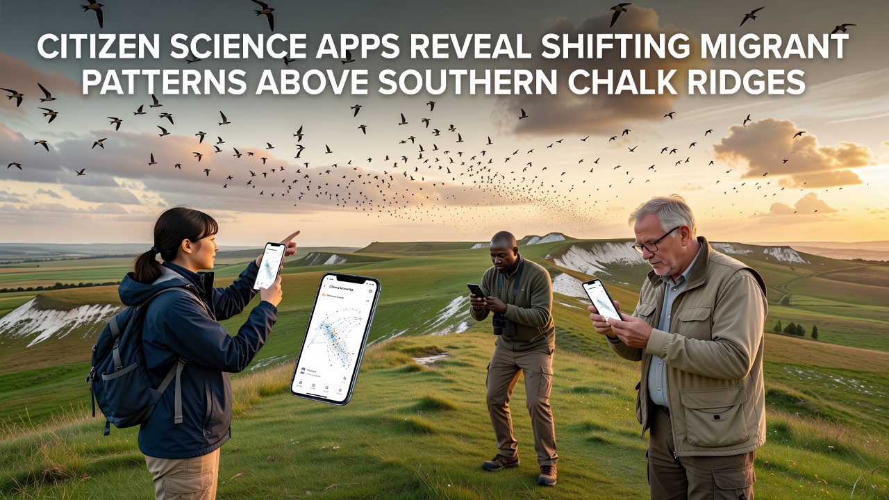
Researchers tracking aerial movements above the chalk ridges of southern England have turned to citizen science applications for real-time insights into how migratory species adjust their routes and timing, and data collected through these platforms continues to highlight measurable changes in flight corridors that stretch across Sussex and neighboring counties. Volunteers record observations of birds, insects and bats during seasonal passages while the apps aggregate location, altitude estimates and timestamps into shared datasets that allow analysts to map deviations from long-term baselines.
Applications such as BirdTrack and iNaturalist have seen increased participation along ridge-top footpaths since 2024, with thousands of uploads each autumn feeding into national and international databases. These records show that certain warbler species now appear over the ridges up to twelve days earlier than averages recorded between 2010 and 2020, while some moth migrations display altered peak densities above specific escarpments. Cross-referencing with weather station readings reveals correlations between warmer September nights and higher insect traffic at lower altitudes along the same chalk outcrops.
Data Collection Methods and Geographic Coverage
Users open the apps on smartphones, log species, count individuals and note flight direction before submitting entries that include automatic GPS coordinates and optional photos or sound recordings. The resulting points cluster along north-south ridge lines where updrafts assist energy-efficient travel, and analysts at several universities filter the raw submissions to remove duplicates while retaining verified sightings. Coverage extends from the South Downs in the west to the North Downs east of the Weald, creating a continuous transect that captures both diurnal and nocturnal movements.
October 2026 produced notable spikes in recorded activity, particularly for redwings and fieldfares that traditionally arrive later in the month yet passed in large numbers during the first two weeks according to aggregated app logs. Similar patterns emerged for painted lady butterflies whose southward flights concentrated above east-facing slopes where thermal lift remains strongest into the afternoon. These concentrations differed from the more dispersed distributions observed in 2023 and 2024, prompting further examination of wind field data from regional meteorological services.
Observed Shifts in Timing and Routes
Comparative analysis of five-year blocks demonstrates that peak passage dates for several trans-Saharan species have advanced while some short-distance migrants now linger longer above the ridges before descending to wintering sites. Altitude estimates derived from smartphone barometer readings and radar cross-checks indicate that certain flocks fly 50 to 80 metres lower than historical medians during calm conditions, a change researchers link to altered thermal profiles above the chalk. Route adjustments appear most pronounced where new woodland planting has modified local wind patterns, forcing birds to skirt rather than cross previously favoured sections.
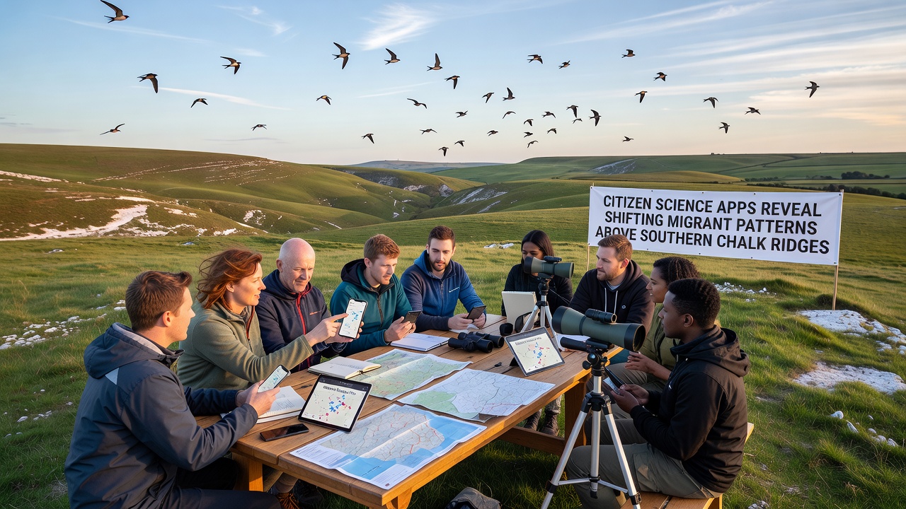
European Environment Agency summaries of broader continental monitoring confirm that comparable advances in timing occur across multiple flyways, yet the ridge-specific granularity supplied by app users supplies finer spatial resolution than satellite or radar alone can provide. Observers note that participation rates rise sharply during weekends when foot traffic along public rights of way increases, yielding denser datasets precisely where conservation interest is highest.
Integration with Professional Monitoring Networks
Professional ornithologists at the British Trust for Ornithology incorporate filtered citizen records into annual migration reports, while university teams run machine-learning models that classify unverified submissions against known call signatures and wingbeat patterns. The resulting hybrid datasets improve predictive models used by land managers who adjust grazing regimes or scrub clearance schedules to maintain open sightlines above the ridges. In turn, app developers have added optional fields for wind speed and temperature that users can populate manually, further enriching the environmental context attached to each sighting.
Cross-border comparisons appear in joint publications that pair southern England ridge data with observations from similar limestone landscapes in continental Europe and North America. Figures released by the Cornell Lab of Ornithology illustrate parallel advances in passage timing along Appalachian ridges, suggesting that the phenomenon is not confined to one region yet manifests with distinct local signatures tied to topography and land use.
Future Monitoring Priorities
Continued expansion of app coverage depends on maintaining volunteer engagement through autumn and spring campaigns that target underrepresented sections of the ridge network. Refinements in species-recognition algorithms are expected to reduce verification workloads, allowing analysts to focus on ecological interpretation rather than data cleaning. Partnerships between app platforms and national park authorities aim to embed automated alerts that notify users when unusual concentrations appear, thereby directing additional observation effort toward emerging patterns.
Conclusion
Citizen science applications now supply the primary source of spatially detailed migration records above southern chalk ridges, and the cumulative datasets reveal consistent shifts in timing, altitude and route selection that align with broader climatic trends. Continued participation through 2027 and beyond will determine whether these adjustments represent temporary responses or longer-term adaptations, while integration with professional networks ensures that the information informs both scientific understanding and practical habitat management decisions across the region.